

Leica MSGO Scanning
Total Station Services
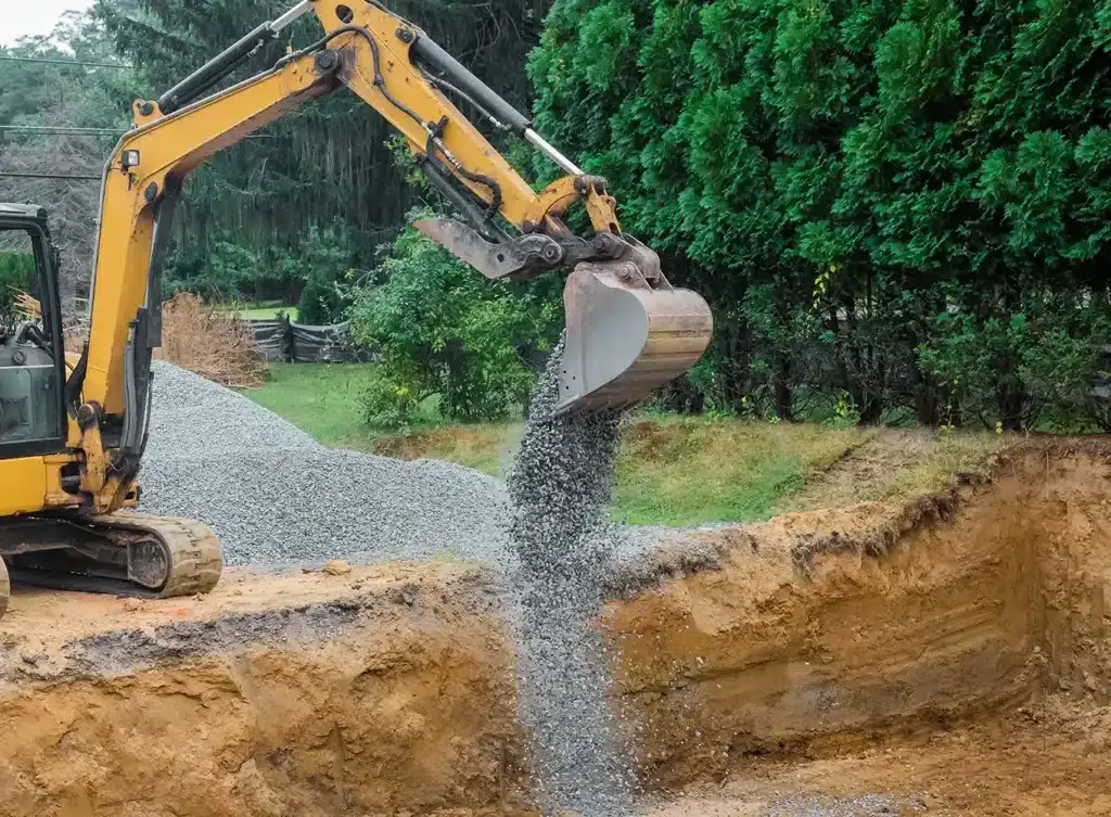
Baxter Site Works uses the Leica MSGO Scanning Total Station to deliver millimeter-level site measurements for construction layout, grading verification, topographic surveys, and as-built documentation. Faster. More accurate. Less rework.
What Is the Leica MSGO Scanning Total Station?
The Leica MSGO Scanning Total Station combines the precision of a traditional total station with the speed of a 3D scanner. It measures angles, distances, and elevations simultaneously, capturing thousands of precise data points across a site in the time a manual survey would capture dozens.
This technology is used for construction layout, topographic surveys, grading verification, as-built documentation, and volume calculations. Data is captured in the field and exported directly to CAD and BIM software, eliminating manual data entry errors and cutting the gap between field and office.
For site development and grading contractors, precision measurement tools like the MSGO are not a luxury; they're a competitive advantage. Accurate grade checks mean less cut-and-fill waste, fewer change orders, and work that matches engineered drawings the first time.
Scanning Capabilities
The Leica MSGO gives us capabilities that standard measuring tools simply cannot match. Here's what that means on your project.
Topographic Surveys
We capture precise elevation data across your entire site and generate accurate topographic maps. This gives engineers and grading crews a reliable baseline to work from before the first piece of equipment moves.
Construction Layout
We stake out building footprints, utility lines, road alignments, and graded surfaces directly from design coordinates. No tape measures, no estimation. Every point placed exactly where the drawings say it should be.
Grading Verification
After a grading pass, we scan the finished surface and compare it against the design grade. You get a real data report, not an eyeball check, confirming the work is within spec before moving to the next phase.
As-Built Documentation
When a project wraps up, we can document the finished conditions with precise measurements. This is required on many commercial projects and provides valuable records for owners, engineers, and future contractors.
Volume Calculations
Pre- and post-grading scans let us calculate exact cut and fill volumes. Accurate volume data reduces material waste, keeps haul-off costs under control, and gives you data to back up billing on unit-price contracts.
CAD & BIM Data Export
Field data captured by the MSGO exports cleanly into AutoCAD, Civil 3D, and other BIM platforms. Engineers and designers can work with the actual site data rather than assumptions, reducing errors from field to office.
Applications Across Project Types
Precision scanning adds value on a wide range of projects. These are the most common applications we handle across Atlanta and the surrounding area.
Commercial Site Development
Warehouses, retail pads, industrial parks, and office developments where precise layout and grade verification are required from the start.
Residential Development
Custom home sites, subdivisions, and multi-lot developments. Accurate lot staking and finished grade documentation before builders begin foundation work.
Grading & Earthwork Projects
Pre-grading topographic capture and post-grading verification to confirm cut and fill work matches the engineered design surface.
Road & Infrastructure Layout
Precise alignment staking for driveways, private roads, utility corridors, and drainage features based directly on engineered plan coordinates.
Quality Control & Inspection
Pre-pour grade checks for concrete work, retaining wall alignment verification, and post-construction as-built surveys for GC closeout packages.
Existing Conditions Documentation
Capture the true existing conditions of a site before design begins: accurate, digital, and ready to send directly to the engineering team.
Why Precision Scanning Matters
Most grading and site development contractors rely on level rods and tape measures. The MSGO changes what's possible on every project we touch.
Faster Field Work
The MSGO captures hundreds of measurements per minute. Work that takes a two-person crew a full day with traditional instruments takes a fraction of that time, keeping your project on schedule.
Fewer Errors, Less Rework
Manual measurement introduces compounding errors. Scanning from verified control points and checking against design data catches problems before they become expensive rework orders.
Data You Can Share
Field data captured with the MSGO exports to formats your engineers and designers already use. There's no translation layer; what's in the field is what's in the model.

Serving Atlanta and Beyond
Our Leica MSGO scanning services are available across Sandy Springs, Roswell, Marietta, Alpharetta, Acworth, Kennesaw, and throughout greater Atlanta. We travel up to 100 miles from Kennesaw for the right project.
Leica MSGO FAQ
Questions we hear from property owners, general contractors, and engineers before getting started.
Need Precision Scanning on Your Project?
Contact Baxter Site Works to discuss how the Leica MSGO can improve accuracy and reduce rework on your next site development, grading, or construction project. We serve Atlanta and surrounding Georgia communities.